No products in the cart.
Pilgrimage Route to Guadalupe
Visitors should follow the N-502 highway all the way to Castiblanco, where the CCV-151 rural path can be taken. The walk continues to Santiago Valley, where the ruins of Visigoth Shrine can be found. Before arriving at Almansa manor the visitor will cross two bridges over meadows and the Guadiana River.
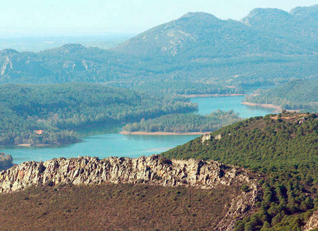
Following that, we find ourselves along the eco-path of the Guadalupejo River, an official bird sanctuary.
This second part ends at Gallanías Peak. Following the descent, the path reaches Guadalupe. Before getting there, however, visitors can enjoy the views of the Guadalupejo River and its headwaters, flowing calmly along a riverbank dotted with ash and aspen trees.
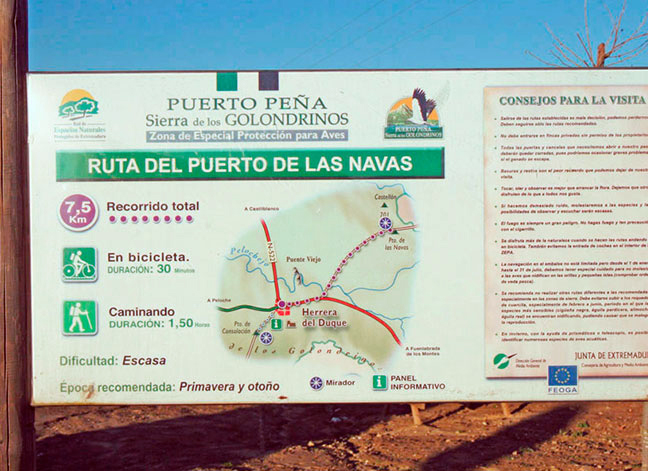
Navas Mountain Range Route
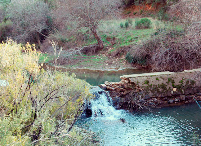
Visitors can start their route on the Las Navas trail, located on the N-502 highway and offering a 4-mile walk. The main highlights of this route are the Pelochejo Creek, the crossroads of the pilgrimage path to Guadalupe and the Navas Mountain Pass with its breathtaking views.
Visitors will also come across an old bridge, built in the Middle Ages with brick, stones, and the adobe remains from several mills.
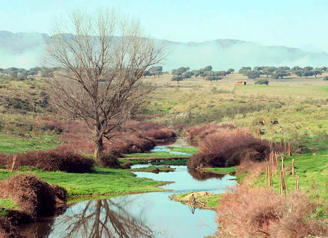
Routes along Pelochejo Creek
A 46-mile route for hikers that should be planned for the spring or fall preferably.
The trailhead is at “El Control”, in the direction of the old bridge. The route is adequately marked with wooden posts and yellow blazes.
The destination is the Morro quarter, nearby the cemetery. Observe thyme, broom, and elm trees along the way. The most interesting fauna are the black-headed warbler, the necked terrapin, the bee-eater and the great spotted cuckoo.
Route to the Alguaciles Hill
A 2.5-mile route (there and back) for hikers that can be traversed in any season.
The starting point of the route is on the Peloche highway heading towards Herrera del Duque and the end point is the Alguaciles (“marshals”) Hill.
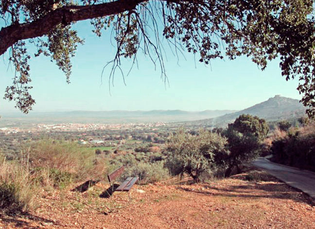
The main highlights along the way are the drinking trough for livestock and the natural quarry at the Alguaciles Hill Peak, which provides excellent views of Peloche and the Guadiana River. It is also a great lookout for all kinds of local birds and animals.
Consolación Hill Trail
Starting in Herrera with a 1.5-mile long route, skirting the Golondrinos mountain range.
The descent starts near Pilar Grande, along clear and well-marked paths that end at the Paniagua rural manor in the Valles del Juez estate.
From there, forest trails lead walkers back to Consolación Shrine.
The vegetation is varied, and there’s even richer fauna with birds of prey, insectivorous birds, woodpeckers, goldfinches, hoopoes, magpies, Iberian magpies and eagle owls. There are also plenty of weasels, ferrets, mongooses, genets, rabbits, hares, wild boars, deer, and foxes to be seen.
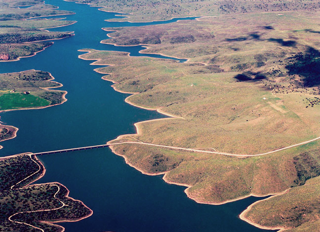
Route to the Pretula de la Hoz Dam
Route: Cubo Dam –Pretura de la Hoz Dam – Cubo Dam.
Total: 3.7 miles. The route follows Benazaire Brook and comes across the Cañamojá Mill which was used by the “Calabreses” (the villagers of Fuenlabrada de los Montes) until 30 years ago.
The vegetation is rich and varied, with holm oaks, cork trees, black poplars, alders and ash trees.
Wild boars, deer, roe deer, foxes and lynxes are some of the animals that can be found.